

Using Calimoto - How to Plan a Ride
If you’re anything like me, planning a ride or trip starts with a coffee, daydreaming of flowing bends and great views. When the coffee is drunk, or more like in my case cold, comes the work, getting the dream into a ride.
The easy option is to get a guidebook, pick a ride and follow it. Now that has its merits, and I have done that. But a lot of the fun is missed. Planning the ride yourself gets you excited when you find a road that you didn’t know was there. Or you spot something interesting and think “that looks good, I will have a look at that!”
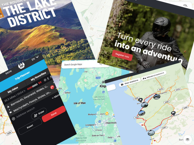
So, where do you start?
There are a mind-boggling number of maps, apps, satnavs and websites promising an easy way to get it done!
I’m going to walk you though how I plan a ride, not the best way, not the only way, just the way I do it.
What I use in planning
Books and guides for the area I will be visiting, OS Maps for a detailed overview of the area, Google, (where would we be without Google?) for maps and info about places and Calimoto to finalise the route and just as important, guide me both visually and with audio in my helmet when on the bike.
I have tried many navigation apps over the years, I’ve found Calimoto the easiest and most reliable, so now stick with it.
Right let’s see how it’s done
Let’s say we want to have a 3-day tour of the English Lake District. It’s off to the library for guidebooks. Years ago, when I planned my first trip there, I used a Wainwright guid. Before you all tell me they are walking guides, I use them for the places I want to visit and see how close I can get on a road.
So now I know where I want to go, I jump on Google Maps, put in the place names and see what the route looks like. You can filter some things, like no motorways, but it will still show the most practical rout. Not always what you want riding a bike.
Open up Calimoto, put the same start and end point in, then add via points for all the places you want to visit. Boom, it sets up a route. I bet it looks nothing like Google? Why not just go to Calimoto then? One thing Google has is street view, click on the blue Google route, drag it to the roads Calimoto has picked, then look at it on street view. You can see the road, surroundings and all-important views.
If you like it, brilliant. If not try another road on Google, switch to street view, like that better? Switch back to Calimoto and alter it.


Where will I stay?
Will it be camping, B&B or hotels, depending which one it is, then on to the internet, Booking.com, Airbnb, or pitchup for places to stay along the route.
Calimoto has an overlay feature that brings of POI information, including camping. However, the mouse over the tent symbol and it shows the site details. Hop on to a campsite app and get it booked. It works just a well for those who don’t like camping
So, how to I get the route on the road?
Now it’s Calimoto’s time to shine. When the route is as you want it, press save, give it a name and any notes you want, press save and it’s sent automatically to your phone.
If you’re going to be in a place with no phone signal, you can download maps on your phone and use off-line mode.
Open the app, pick the ride hit star and off you go. Visual and voice prompts.
The video walks you through each stage, drop me a message if you have any question, or tell me how you plan a ride, I would be interested to hear.
Create Your Own Website With Webador